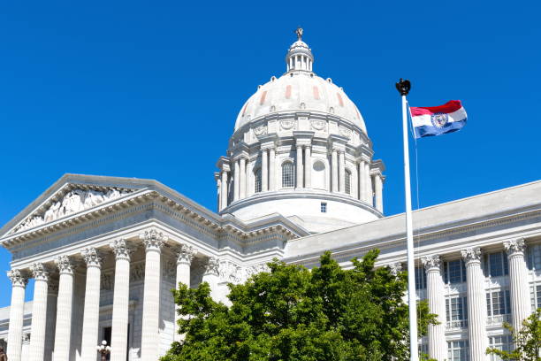

On Sept. 28, Governor Mike Kehoe signed House Bill 1, containing the Missouri First Map: a new map that redrew Missouri’s eight congressional districts. Kehoe announced his intent to do so on Sept. 25, when he said in a news release, “Missouri’s conservative, common-sense values should be truly represented at all levels of government, and the Missouri First Map delivers just that.”
According to the new map, South St. Louis County — including Affton, Lemay, Crestwood, Sunset Hills, Oakville and Mehlville — will remain in District 2, which is represented by U.S. Representative Ann Wagner (R). With that said, District 2 is changing: geographically, the district will have a sizable expansion, though its territory moves south rather than north.
In the previous District 2 map, the district encompassed northwestern municipalities like St. Peters, Cottleville and Weldon Springs. Now, those cities will be drawn into District 3; instead, new District 2 lines will swallow Franklin, Washington and part of Jefferson County, among parts of other southwestern counties.
The largest change to the congressional map is in Kansas City and its suburbs, which will be split between Districts 4, 5 and 6. District 5, represented by U.S. Representative Emanuel Cleaver (D), previously encapsulated most of Kansas City. Some believe this effort was intended to dilute Democratic influence in that district, which will now span a vast chunk of the state’s middle counties, from Jackson to Osage County.
Despite the governor’s signature, the Missouri First Map may still face challenges. Even before the special legislative session to draw and pass this map began, the NAACP challenged Kehoe’s authority to have called a special redistricting session in the first place. Court challenges have sprung up in Cole and Jackson counties, as well, to declare the map void.
Meanwhile, a campaign committee known as People NOT Politicians is seeking 110,000 signatures to force a referendum on the new congressional map. If the group can collect those signatures by Dec. 11, the map will not take effect until there has been a statewide vote. If successful, that election would be held in November 2026 unless the General Assembly were to set an earlier date.
“In less than a week since this map was passed, we’ve had over 2,200 Missourians sign up to volunteer to gather signatures,” Richard von Glahn, the leader of this campaign, said. “I’ve obviously been through this a couple times, but I’ve never seen the sort of groundswell we’re seeing now.”